Applied Python Programming for Geology and Geosciences Solutions
Premium Workshop
For PEA Members Only

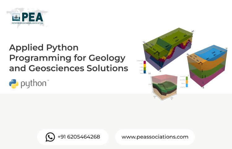
This workshop introduces geologists and geoscientists to Python programming tailored for their field. Participants will learn how to use Python for data analysis, visualization, geospatial applications, and numerical modeling relevant to geology and geosciences. The course covers practical skills to automate workflows, interpret large datasets, and create 3D geological models, empowering professionals to enhance their research and decision-making capabilities.
Workshop Objectives
To equip participants with essential Python programming skills for geology and geosciences, enabling them to efficiently analyze geological data, develop visualizations, automate repetitive tasks, and apply computational models to solve real-world geoscience problems with confidence and precision.
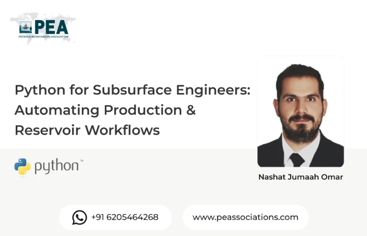
About the Presenter
A highly accomplished geologist in structural geology, tectonics, and field mapping. He has a PhD in Geology from the University of Illinois at Urbana-Champaign and has held several teaching and research positions at prestigious universities in the United States. He is proficient in various geological software and programming languages, including Python, ArcGIS, and MATLAB. He has extensive experience in geological mapping, 3D modeling, and quantitative analysis of geological structures. He has also developed and taught several courses on Python programming for geoscientists.


Premium Workshop
For PEA Members Only
Reservoir Engineering & Well Testing in Excel The Hands-On Bootcamp
This hands-on bootcamp is designed for petroleum engineers who want to move beyond theory and actually build reservoir engineering and well testing models from scratch — in Microsoft Excel. Over two intensive days, participants work through 10 real-world projects covering the full spectrum of reservoir characterisation and well performance analysis. No black boxes, no third-party software — every model is built cell by cell, so you understand exactly what's happening under the hood. Exclusively available to PEA Members.