
MATLAB For Earth Sciences
Premium Workshop
For PEA Members Only

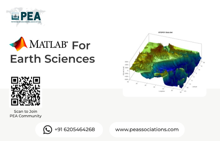
Join our hands-on workshop on MATLAB for Earth Sciences, designed to empower researchers, students, and professionals with powerful computational tools for analyzing and visualizing Earth data. Learn to leverage MATLAB’s robust capabilities for geospatial analysis, data modeling, and simulation to tackle real-world challenges in geology, meteorology, oceanography, and environmental science. This workshop combines expert-led instruction with practical exercises to enhance your skills in data processing and interpretation.
Workshop Objectives
Master MATLAB fundamentals for Earth science applications.
Learn techniques for processing and visualizing geospatial and environmental data.
Develop skills in modeling and analyzing Earth science phenomena.
Apply MATLAB tools to solve real-world problems in Earth sciences.
Gain hands-on experience through practical, industry-relevant exercises.
About the Presenter
A highly accomplished geologist with expertise in structural geology, tectonics, and field mapping. He has a PhD in Geology from the University of Illinois at Urbana-Champaign and has held several teaching and research positions at prestigious universities in the United States. He is proficient in various geological software and programming languages, including Python, ArcGIS, and MATLAB. He has extensive experience in geological mapping, 3D modeling, and quantitative analysis of geological structures. He has also developed and taught several courses on Python programming for geoscientists.


Premium Workshop
For PEA Members Only
Reservoir Engineering & Well Testing in Excel The Hands-On Bootcamp
This hands-on bootcamp is designed for petroleum engineers who want to move beyond theory and actually build reservoir engineering and well testing models from scratch — in Microsoft Excel. Over two intensive days, participants work through 10 real-world projects covering the full spectrum of reservoir characterisation and well performance analysis. No black boxes, no third-party software — every model is built cell by cell, so you understand exactly what's happening under the hood. Exclusively available to PEA Members.