
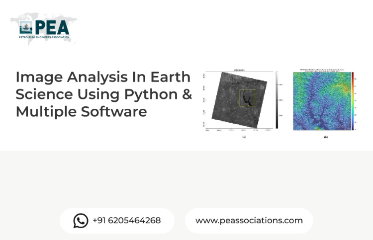
Image Analysis In Earth Science Using Python & Multiple Software
Premium Workshop
For PEA Members Only

Unlock the Power of Image Analysis for Earth Science: Free Workshop
Join us for a workshop exploring the dynamic intersection of Python and cutting-edge software in image analysis for Earth science. Whether you're a seasoned researcher or a budding enthusiast, this event offers a unique opportunity to delve into the fascinating world of Earth observation through a hands-on, interactive learning experience.
Workshop Objectives
Foundations of Image Analysis
Introduction to Python for Earth Science Applications
Basics of Remote Sensing and Image Processing
Advanced Techniques and Practical Applications
Leveraging Python Libraries for Image Analysis
Case Studies and Real-world Applications in Earth Science
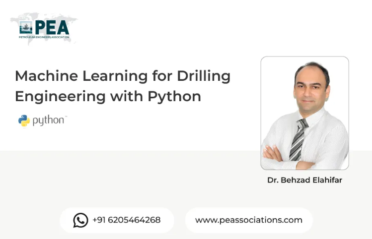
About the Presenter
The presenter is an experienced industry professional with a strong background in reservoir engineering, geoscience, and digital technologies. With extensive expertise in applying computational tools and software to complex subsurface challenges, the presenter brings practical insights into bridging traditional methods with modern data-driven approaches.


Premium Workshop
For PEA Members Only
Reservoir Engineering & Well Testing in Excel The Hands-On Bootcamp
This hands-on bootcamp is designed for petroleum engineers who want to move beyond theory and actually build reservoir engineering and well testing models from scratch — in Microsoft Excel. Over two intensive days, participants work through 10 real-world projects covering the full spectrum of reservoir characterisation and well performance analysis. No black boxes, no third-party software — every model is built cell by cell, so you understand exactly what's happening under the hood. Exclusively available to PEA Members.